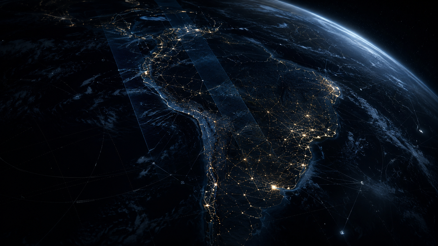
Observe
Combine satellite imagery, environmental data and weather conditions around the asset.
Earth Observation · Climate Intelligence · Predictive Monitoring
Siderix Vision combines satellite observation, weather, climate, geospatial data and AI to monitor physical assets and territories — and build tailored intelligence around each operational challenge.
Vegetation grows. Rain accumulates. Terrain changes. Roads deteriorate. New structures appear. Access conditions shift. Weather can make all of them more critical.
The cost is often not the change itself — it is discovering it too late.
Where should we inspect?
What changed?
Could weather amplify the risk?
What should maintenance prioritize?
Is access becoming difficult?
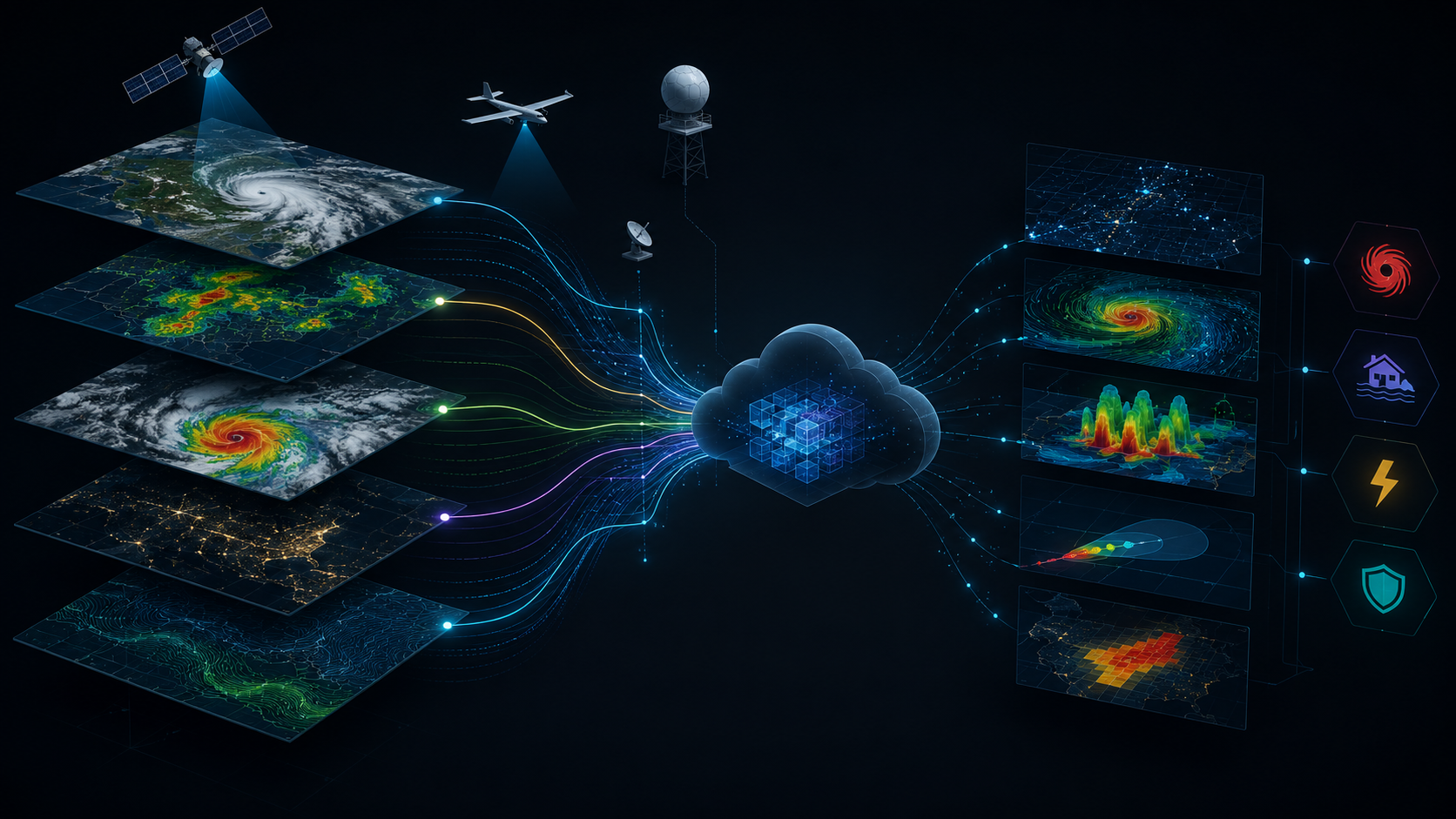
Siderix Vision starts with the asset and the problem — not with a predefined package. The platform combines the intelligence layers that are relevant to that operation.
Combine satellite imagery, environmental data and weather conditions around the asset.
Identify relevant changes, anomalies and conditions developing across the territory.
Cross current conditions and historical context to indicate where risk may be increasing.
Help teams decide where to inspect, maintain, investigate or act first.
HYDRA, PHENOC and CUSTODIA are specialized capabilities inside the same platform. They can work independently or be combined around a specific operational problem.
Water, accumulated rainfall, erosion, flooding, soil saturation, watersheds and slope conditions.
Useful whenever water and terrain can influence access, maintenance, safety or operation.
Vegetation dynamics combined with wind, storms, lightning, temperature and short-term weather exposure.
Useful whenever environmental conditions interact with infrastructure or field operations.
New structures, roads, occupation, land-use change, encroachment, vegetation removal and geofenced events.
Useful whenever an organization needs to know when something relevant changes inside or around an area.
Siderix Vision is not limited to a single industry. The platform adapts its monitoring layers to the geography, asset and operational question.
“If the operation depends on understanding what is changing across a physical territory, there may be an application for Siderix Vision.”
Vegetation, wind, lightning, erosion, access roads and encroachment.
Snow, rainfall, temperature, slope conditions, roads and extreme weather.
Road access, rainfall, flooding, terrain and conditions affecting vehicle or helicopter access.
Rainfall, landslides, vegetation, erosion, flooding, access and terrain changes.
Watershed conditions, accumulated rainfall, erosion, terrain, water and environmental changes.
Vegetation, occupation, weather, erosion, access and surrounding land-use change.
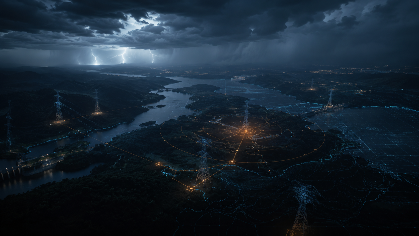
Satellite imagery, climate data, weather intelligence and AI work behind the scenes. What reaches the operation is a clearer view of what deserves attention.
Incuba Espaço is developed with AEB, UNDP — United Nations Development Programme — and PIT SJC. Institutional references indicate incubation and ecosystem relationships
Tell us about the asset, territory, maintenance challenge, access problem or climate condition you need to understand better. We can evaluate whether Siderix Vision has an applicable monitoring approach.